Visit Mungo
Getting there
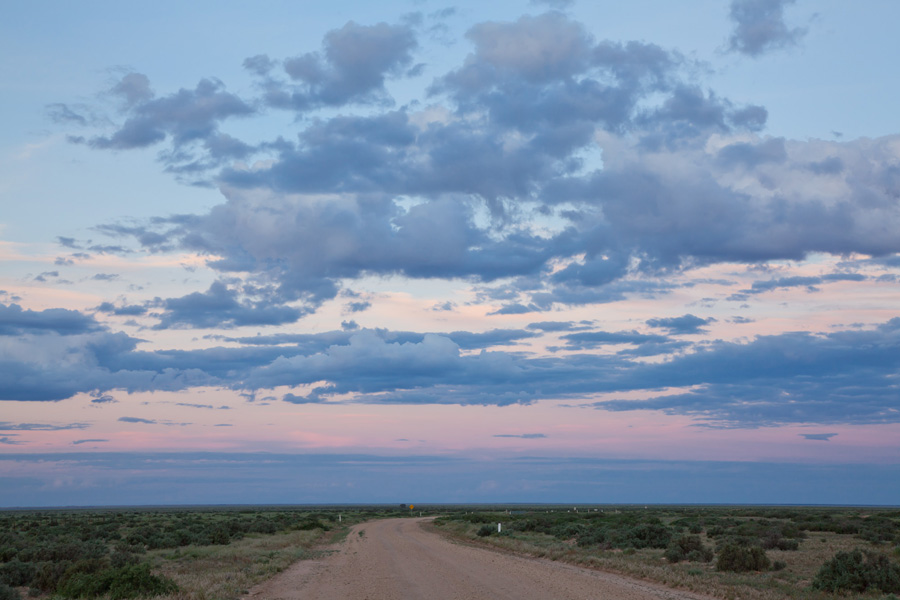
A good local map is recommended, backed up with a satellite navigation device if you prefer. There is no mobile coverage at Mungo National Park. Due to long stretches of unsealed roads, we advise that you take your time to enjoy the big open spaces and changing landscape.
All routes involve two-wheel-drive unsealed roads which may be closed during and after wet weather. Even if you get through during wet weather, to preserve the park's roads, access may be closed to the Walls of China or any unsealed roads inside the Park. Check the latest information.
As always when travelling in the outback it is a good idea to be prepared. Your preparations should include checking local weather conditions and forecasts through the following link: mungo weather. After rain roads may be closed within Mungo National Park, and also the shire council roads leading to the National Park.
Road conditions can change quickly so before you travel you should check what roads are open or closed within Mungo National Park and also the shire council roads leading to the National Park. This advice can be obtained from the following visitor information centres:
Balranald Visitor Information Centre
81 Market Street
Balranald, NSW 2715
Toll Free: 1800 444 043
Telephone: 03 - 5020 1599
Fax: 03 - 5020 1599
Email: infocentrestaff@balranald.nsw.gov.au
Website: www.balranald.nsw.gov.au
Wentworth Visitor Information Centre
66 Darling Street, Wentworth.
Tel. (03) 5027 3624
E-mail: tourism@wentworth.nsw.gov.au
Mildura Visitor Information Centre
180-190 Deakin Avenue, (on the corner of 12th Street) in Mildura city
Phone - +61 3 50188380
or Freecall 1800 039 043 (within Australia). Open every day except Christmas Day. Our opening hours are 9am-5.30pm Monday-Friday and 9am-5pm Saturday, Sunday and public holidays.
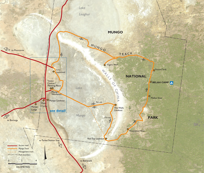
The drive from Mildura to the park travels north-east on 20 km of sealed and 88km of unsealed roads. To Check road conditions phone 03 5027 5040
From Wentworth, a sealed road follows the Darling River for 119 km, north-east to Pooncarie. At 22 km south of Pooncarie, an unsealed road turns off to the east and takes you 59 km to the park.
From Ivanhoe on the Cobb Highway, the park headquarters is about 170 km south-west on mostly unsealed back roads. This route travels through the park for some distance.
From Balranald two routes, mostly on unsealed back roads, approach the park from the south-east. Either way is about 150 km.
Rental vehicles are available in Mildura.